This summer we travelled 4,300 miles, taking three flights and one boat, from London to Disko Island in western Greenland. We were completing part of our field research into the recent changes in Arctic frozen ground (or ‘Permafrost’ - ground that remains frozen for two years or more). Permafrost currently accounts for around 25% of the Earth’s land surface and covers vast areas of the Arctic, Siberia, Canada, and some high mountain regions. It is an important store of greenhouse gases and estimates suggest that it may contain as much as 1,700 gigatonnes of carbon.
The upper layer of the frozen ground, the ‘active layer’, melts during the summer and releases the gases and sediments stored within it. Where permafrost has formed in front of glaciers, the meltwater streams can erode the thawed active layer, increasing the emission of the stored gases and sediments. If Arctic air temperatures rise as predicted, the amount of permafrost eroded by glacial meltwater is also likely to increase. Investigating the interactions between these Arctic glaciers and the surrounding permafrost is important for our understanding of future environmental changes.

The Ground Penetrating Radar (GPR) and Tim Lane in action during the winter season, 2013. Photo: K Adamson
Our project forms part of an Arctic-wide research programme coordinated by EU-INTERACT. Through our work with INTERACT we have now completed two field seasons – one in the winter when the permafrost was fully frozen, and one in the summer, when the active layer had thawed. Our research aims to investigate the annual change in the depth of this active layer, and how it contributes to changes in the sediment within glacial meltwater streams.
Our field site on Disko Island provides the ideal location to study Arctic permafrost. It lies to the east of a small ice cap, and the meltwater streams are easy to access. During our fieldwork we stay at the research centre ‘Arctic Station’, which we share with other Arctic scientists investigating a whole range of topics from whales, to Arctic insects and everything in between! In order to study our site in depth we also spend a good deal of time camping close to the ice cap.
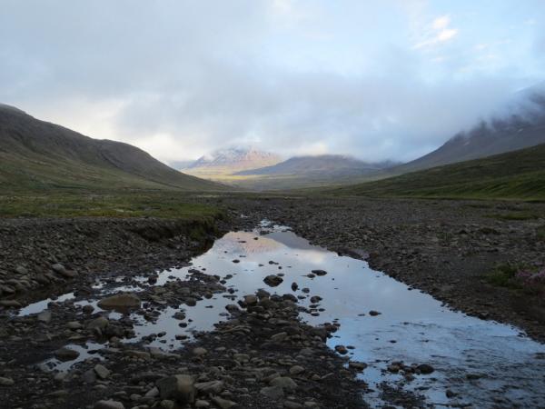
During the winter season, when temperatures reach a cool -20°C, we reach our field site by snowmobile over the ice cap and frozen meltwater streams. In the summer, temperatures reach around 7°C. At this time, the ice and snow have receded and the meltwater streams are in full flow. Getting to our site takes an 8-hour trek over bogs and meltwater streams. With 20 kg of equipment in our backpacks, this takes a lot of high energy snacks and scientific enthusiasm!
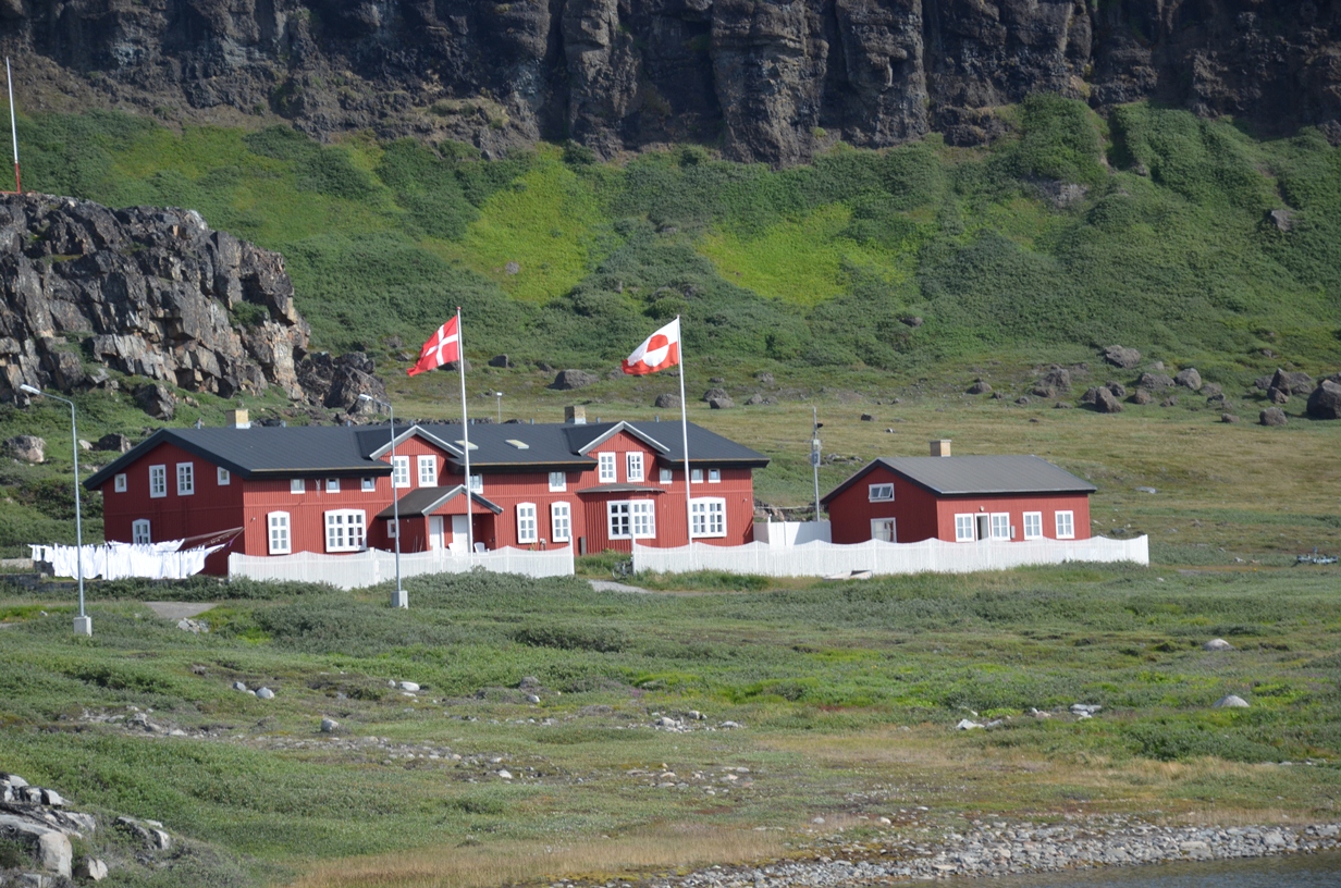
Arctic Station, Disko Island. Photo: T Lane
Once we arrive at our site we use a ‘ground penetrating radar’ (GPR) to scan the ground. It is almost like the geological equivalent of a medical scan. This machine transmits radar pulses into the ground. These pulses hit objects below the ground and are then reflected back to the machine. We can then use the returned signal to interpret the size, shape and location of subsurface material (such as soil, rock, ice, and water). Visiting the site over two seasons allows us to repeat our measurements and explore the changes in the permafrost. As well as the GPR measurements, we also collected water samples from the meltwater stream, using the slightly less high-tech method of waiting beside the stream and filling water bottles!
This fieldwork provides us with important insights into the changes occurring in these sensitive Arctic environments. It forms one of the many research projects being carried out each year which collectively will lead to a better understanding of climate change. It is these observations that allow scientists to make more informed predictions about the future changes in the Earth system.
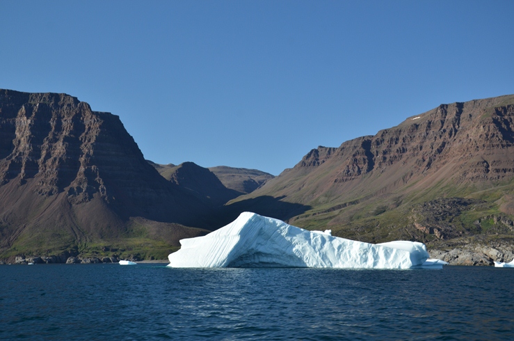
Icebergs. Photo: T Lane
Read more from Kathryn and Tim on INTERACT.